
Where the Metro Map Goes Blank: Rail Beyond Miyapur
The Hyderabad Metro's western edge is a platform at Miyapur. West of it the map is blank — and the blank part is where the city is growing. What has actually been announced, what already runs, and how to price the difference.
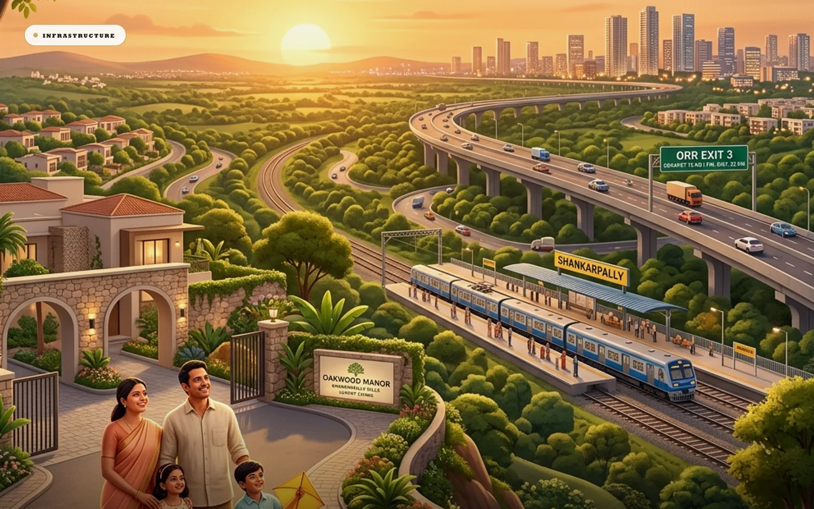
The Hyderabad Metro's western edge is a platform at Miyapur. The Blue Line's western edge is Raidurg. West of those two points the metro map is blank.
The blank part is where the city is growing. Highways, campuses and plotted layouts run out through Patancheru and Shankarpally into land the network does not touch, and how a buyer prices that gap — between announced rail and operating rail — is one of the more consequential decisions available in West Hyderabad.
Metro lines follow rooftops, they do not lead them
There is nothing accidental about where the network stops. Metro systems are extraordinarily expensive per kilometre, and the economics only close where a corridor is already dense enough to supply tens of thousands of riders from day one. Phase I therefore followed the city's established arteries rather than its future ones.
Hyderabad's metro opened in stages from 2017 and runs three corridors across the inner city: the Red Line between Miyapur and LB Nagar, the Blue Line from Nagole to Raidurg, and the Green Line linking the twin cities' transport hubs. Two terminals matter to the west. Miyapur anchors the NH-65 axis that continues towards Patancheru and the ORR. Raidurg sits at the edge of the HITEC City–Financial District employment core, which is where the entire western corridor commutes.
The corollary is that metro expansion is a trailing indicator of growth rather than a leading one. First a corridor fills with homes, schools and offices. Then the ridership case matures. Then the line is sanctioned. Today's terminus is tomorrow's mid-line station, and the corridors beyond the terminus are where the next chapter gets drafted — by road first, by rail much later.
What has been announced, and how to hold it
Telangana's government has publicly championed a second phase, and the announced thinking is expansive: an airport corridor from the existing network towards Shamshabad, extensions serving the old city, and westward proposals including the long-discussed extension of the Red Line beyond Miyapur towards Patancheru, alongside ideas for serving the Financial District's expanding flank near Kokapet.
Each of these sits at a different point on the journey from speech to sanction to construction. The honest way to hold them is as announced plans: real statements of intent, subject to central approvals, funding arrangements, detailed project reports and the years of civil work any metro requires.
We attach no dates to unbuilt rail, and a buyer should distrust anyone who does.
The axis worth watching does not reach Shankarpally
Of the announced directions, the Miyapur–Patancheru axis deserves the western buyer's closest attention. It would push high-capacity rail along the corridor that funnels towards the ORR's western interchanges — the geography served by Exit 3 — and would shorten the effective distance between the plotted belt and the rail network to a single feeder journey.
Note the phrasing carefully. Shorten, not eliminate. No announced metro proposal reaches Shankarpally itself, and buyers should neither expect one nor accept being sold one. The corridor's metro story is about the network's edge moving closer over decades, in the direction of land that must justify itself on other grounds today.
The corridor already has rail, and nobody markets it
Something obvious tends to get skipped in this conversation. The western corridor already possesses rail. Shankarpally has a working suburban railway station on the Hyderabad–Vikarabad line running west out of the city. Modest, unglamorous, and entirely real. It carries students, staff and daily travellers now, at fares a fraction of any road commute, on infrastructure that requires no announcement to exist.
Suburban rail and the metro are different instruments. The metro is high-frequency urban transit built for dense corridors. Suburban rail is longer-haul service on the national network's tracks, running at interval frequencies rather than turn-up-and-go — and MMTS itself, the city's dedicated suburban service, currently ends at Lingampally and Tellapur, with an extension towards Shankarpalli proposed but not yet built.
From a landholder's chair they are complementary. The railway line gives the corridor a functioning rail spine today, while metro expansion, as and when sanctioned, would thicken the network that spine feeds into. A corridor with a live suburban station and an announced metro direction pointing towards it is in a better position than one with neither, whatever the timelines prove to be.
Public discussion of upgrading suburban rail and integrating it better with the metro surfaces periodically. That kind of incremental improvement tends to arrive faster than headline projects, and it changes daily usefulness immediately. Watch it more closely than the alignment maps.
What rail actually does to land, and what it cannot
"Metro is coming" is the most abused phrase in Indian real-estate marketing, so be precise about the mechanism.
Station-area concentration. Rail's value lands within a walkable or short-ride radius of stations rather than uniformly along a line. Land between stations gains far less.
Commute-shed extension. A rail link widens the geography from which the employment core can recruit. Households that refuse a ninety-minute road commute will accept a shorter drive plus a predictable ride, which deepens the demand pool for peripheral housing.
Mode insurance. For a household committing decades to a location, a second mode is a hedge. Roads congest, fuel prices move, circumstances change. A corridor reachable by both expressway and rail carries less single-mode risk than one dependent entirely on the car.
What rail cannot do is rescue a weak location. A station beside land with no employment story, poor approvals or broken feeder roads produces a well-connected disappointment. Rail multiplies an existing case. It does not create one.
There is a fourth effect worth naming because it runs the other way. Stations concentrate activity, and activity is not always what a residential buyer wants at the end of their street. The land that gains most from a station gains commercial pressure with it — shops, autos, parking, noise. Households buying for quiet should want the gateway near, not adjacent.
Phase I already ran the experiment western buyers are trying to price
When Phase I opened from 2017, the neighbourhoods around its stations experienced the classic accessibility effects: denser commercial activity near station gates, a repricing of walkable catchments, and a gradual shift in how households weighted proximity to rail. Miyapur itself, once regarded as the city's far edge, matured into a fully urban district with the terminus as an organising landmark.
Three transferable lessons come out of it. The effects concentrated, with station catchments moving first and furthest. The effects lagged, unfolding over years of operation rather than on inauguration day, because commuting habits take time to form. And the terminus effect proved real: end-of-line stations became collection points for a hinterland far larger than their walking radius, served by feeders, autos and park-and-ride behaviour.
That third lesson is the one the west should sit with. A terminus serves everything beyond it. Miyapur already functions as a rail gateway for the corridor to its west, and any future extension towards Patancheru would push that gateway deeper into the corridor's geography.
So the relevant question was never when a station arrives at the village square. It is how close the gateway comes, and how good the road to it is — a question the corridor's main roads and ORR access already answer.
Buy the corridor, take the rail as compounding
The disciplined position runs like this. The corridor's present case rests on what exists: the ORR and its interchanges, the main corridor roads, the railway station, the IIT Hyderabad campus at Kandi twenty-five minutes away, the school belt at Mokila–Tellapur, and the forty-five-minute run to the Financial District's employers.
On those facts alone, communities such as Sanctuary — HMDA-approved and ready to construct — and Raghunath County on the main road justify themselves as land purchases.
Announced metro expansion then functions as compounding. Each sanction, each detailed project report, each construction package that pushes rail westward tightens the corridor's connection to the network and broadens its future buyer pool, at no additional cost to anyone already holding approved land. That asymmetry — paid-for fundamentals, free optionality — runs through our investment thinking.
The constraint is money per kilometre, and it never relaxes
Understanding why expansion moves slowly requires looking at the cost structure rather than the politics.
Elevated metro is among the most expensive infrastructure a state builds, per kilometre, and the bill does not fall as you move outward. It rises in places, because land acquisition along a built-up highway corridor is neither cheap nor quick. Meanwhile the ridership that justifies the spend falls as density falls. Every kilometre added past the current terminus therefore costs about the same and earns considerably less.
That arithmetic is why Phase II corridors need central participation, why funding closure is a genuine milestone rather than a formality, and why extensions towards low-density periphery tend to be the last packages built even when they were announced first.
It is also why the outer corridors are, on any realistic view, road corridors for the foreseeable future — which is precisely the reason to buy them for their roads.
What a feeder journey actually needs
If the practical benefit of rail out here is a drive to a station rather than a walk to one, then the quality of that drive is the thing to inspect.
Three items decide it. The width and condition of the road between the layout and the station or terminus, including whether it floods. Somewhere to leave a car all day without paying a stranger to watch it. And a return leg that still works at nine in the evening, which is a different question from whether it works at nine in the morning.
None of these appear on an alignment map, and all three are checkable this weekend. A corridor whose feeder roads are good will absorb any future rail improvement immediately. A corridor whose feeder roads are poor will watch the benefit accrue to somebody else's parcel.
Six signals worth tracking, in order
Central approval events for Phase II corridors. Metro projects of this scale require sanction and funding participation beyond the state, and approval is the true starting gun.
Detailed project reports and alignment finalisations, which convert announced directions into surveyed, costed corridors and reveal station locations — the detail that matters most to land.
Funding closures, budgetary, multilateral or public-private. A corridor with money attached behaves differently from a corridor with intent attached.
Construction tenders and groundbreaking on any western package, especially along the Miyapur–Patancheru axis.
Suburban rail service improvements — frequency, timings, integration, and any sanction of the proposed MMTS extension westward — which arrive quietly and change daily usefulness at once.
Airport-corridor progress, because a rail-connected airport strengthens the whole metropolitan proposition within which every sub-corridor is priced. We treat that separately in our RGIA connectivity analysis.
Three mistakes rail-wave buyers make
The first is paying a metro premium for land near a line that exists only in a presentation, surrendering in today's price the entire benefit the rail might deliver years hence.
The second is the mirror image: refusing a sound corridor because the train has not arrived, as though the ORR, the railway station and a forty-five-minute employer run counted for nothing until steel rails blessed them.
The third is buying by the map rather than the mechanism — choosing land near a proposed alignment's line on a slide, instead of near the roads that will actually feed whatever station is eventually built.
The corrective for all three is the same. Pay for what exists, position for what is announced, and let the connecting roads, which are knowable today, determine which parcel you buy.
Nobody can tell you which year a train first runs past Miyapur, and this piece will not pretend otherwise. What can be said is directional: the network's western edge has only ever moved one way. To see how the corridor's road and rail threads meet on the ground, join us for a site visit and time the feeder journey yourself.
Disclaimer: Metro Phase II corridors and extensions described here are announced plans subject to government approvals, funding and detailed design. Alignments, stations and timelines may change, and no completion dates are implied. Buyers should verify title and layout approvals independently; property investments are subject to market conditions.